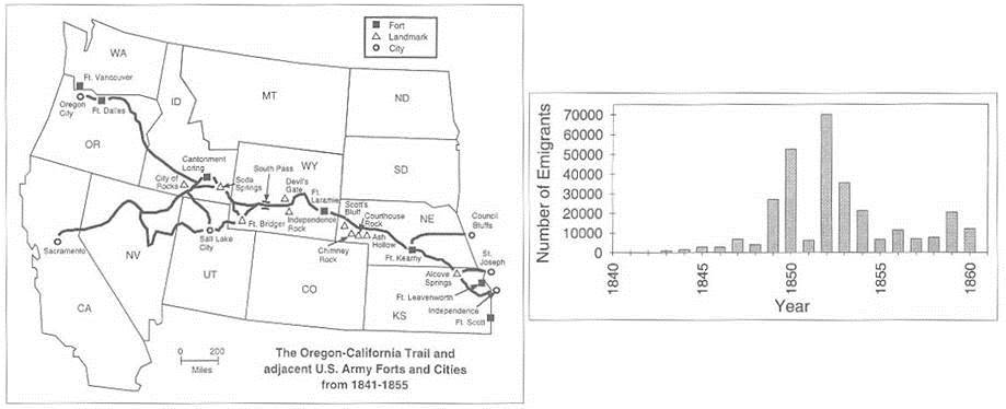
The Overland Trail (left), and emigrant numbers by year (right), From Mock and Lawson (2001)
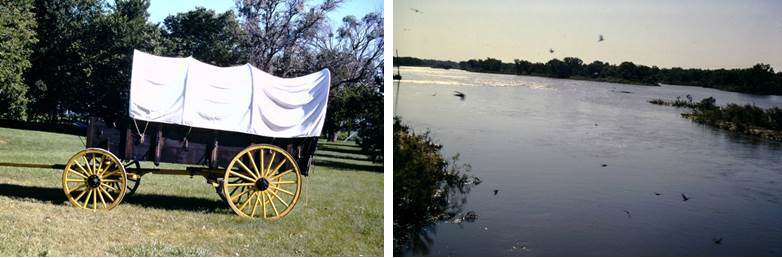
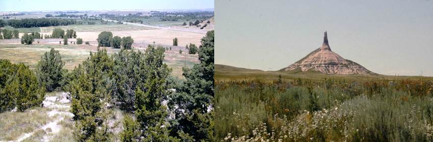
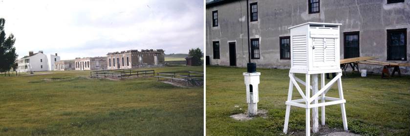
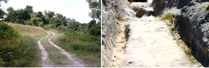
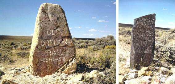
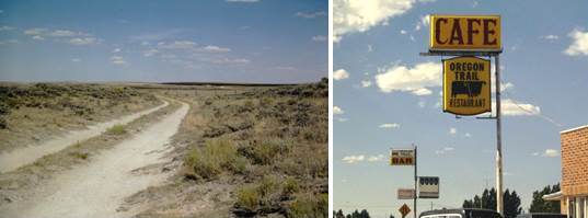
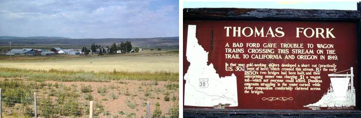
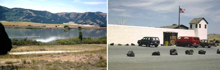
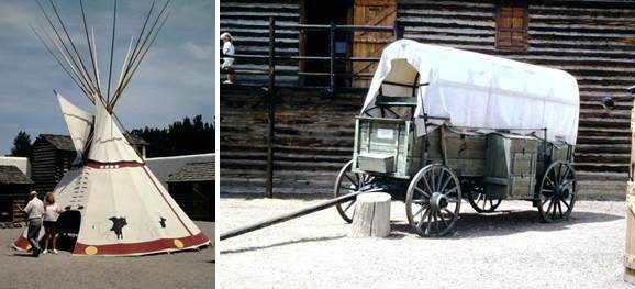
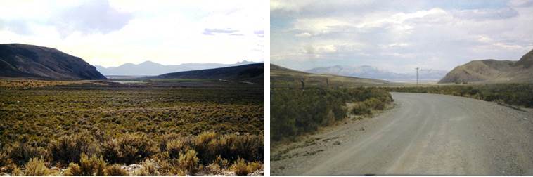
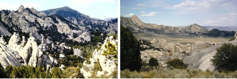
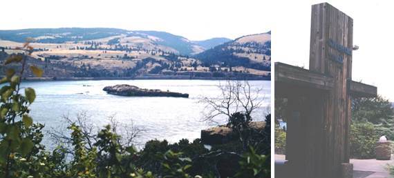
Dr. Cary Mock has always thought that to gain a full appreciation of doing interesting historical climatological research, one should make visits to appropriate historical markers and sites. This enables the historical climatologst to understand how the people in the past dealt with everyday life, including potentially dealing with climate and the environment. In the case of Dr. Mock's long-term interest on the Overland Trail in the mid 19th century (especially 1849), he has gone to sites along the Trails, particularly in the Rocky Mountains and the Great Plains. Below is a sample of some pictures to gain an idea of the Overland Trail experience, as well as some signs of the Overland Trail legacy left from the past.
The Overland Trail (left), and emigrant numbers by year (right), From Mock and Lawson (2001)
Back to Historical Climate Webpage